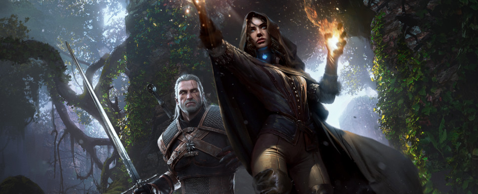
The Witcher 3: Wild Hunt Aerial Screenshots
-
Category: News ArchiveHits: 1866

A user over on the NeoGAF forums has posted a set of screenshots that provide us with spectacular aerial views of the "Velen/Novigrad, Skellige Island, and White Orchard" land masses in The Witcher 3: Wild Hunt. As the user states, the screenshots definitely showcase "the scale, as well as how the topography, roads, distribution of towns and fields look, all from above."
There is certainly some stark realism when peering down at the world of The Witcher 3, which makes me wonder whether the developers used a bird's eye view during its creation as well.

